Geography Education Services
Flexible learning options designed to support your geographical journey, from exam preparation to professional skill development.
Flexible learning options designed to support your geographical journey, from exam preparation to professional skill development.
Our GCSE programme covers the full specification including physical landscapes, weather hazards, urban issues, resource management, and geographical skills. We work through exam technique, helping students structure answers effectively and apply case study knowledge appropriately.
Sessions include practice with OS maps, graphical skills, and fieldwork methodology. We adapt to whichever exam board you're following—AQA, Edexcel, OCR, or WJEC.

A-Level geography demands deeper analytical thinking and independent research skills. Our tutoring addresses complex topics like tectonic hazards, carbon cycles, migration patterns, and coastal systems. We place particular emphasis on developing synoptic connections across the specification.
The independent investigation component receives dedicated support, from question formulation through methodology design to data presentation and evaluation.

University-level geography writing requires critical engagement with scholarly literature and sophisticated argumentation. Our consultation sessions help you refine thesis statements, strengthen theoretical frameworks, and develop convincing geographical arguments.
We work across physical geography, human geography, and environmental studies, providing feedback on essay structure, academic voice, and effective use of evidence.

Geographical understanding deepens dramatically through field experience. We design and lead educational field trips tailored to specific learning objectives, whether investigating coastal processes, urban regeneration, river systems, or glacial landscapes.
Each trip includes pre-visit preparation, on-site data collection guidance, and post-visit analysis support. All activities align with health and safety requirements.
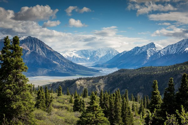
Competent map reading remains an essential geographical skill. These sessions cover Ordnance Survey map interpretation, contour analysis, grid references, compass navigation, and route planning.
Practical outdoor sessions available for those wanting to develop navigation confidence in real terrain. Suitable for students, outdoor enthusiasts, and anyone needing professional surveying skills.
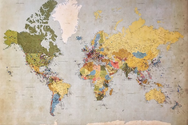
Geographic Information Systems have become central to modern geographical practice. Our training introduces spatial data concepts, layer management, attribute tables, geoprocessing tools, and map production using professional GIS software.
Sessions start with fundamental concepts before progressing to spatial analysis techniques like buffer zones, overlay analysis, and network analysis. No prior technical experience required.

Select any service above to proceed with booking. We'll confirm your session details within 24 hours and provide any necessary preparation materials.
Go to Booking Form